|
and Bryce Canyon National Parks |
 |
| Click on the "thumbnail" photo to see an enlargement of the picture, then use your browser's "Back" button or arrow to return to this page. | ||
|
We visited Zion National Park several times between October 25, 2005 and November 2, 2005. |
||
| Here's some of the scenery near our campground. On one side of the street this red hill towers over the car, on the other side, Ron has to look over the cliff to see the "Falling Rocks" sign. |
 -
-  - -
 |
|
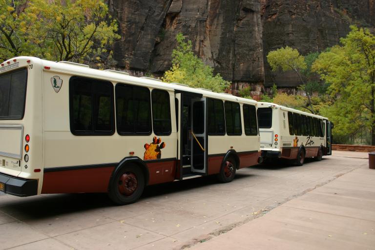 |
During the busy season in the park, Zion, like some other National Parks. no longer allows cars. Tour busses are provided, like this one. In Zion they run from April through October. | |
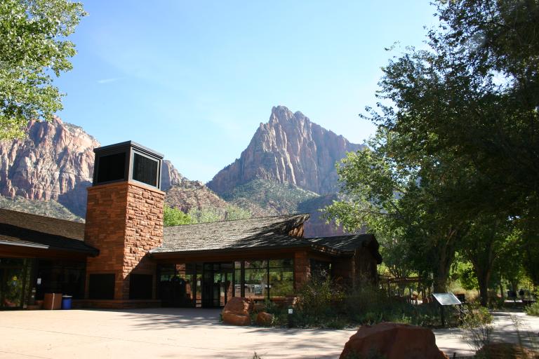 |
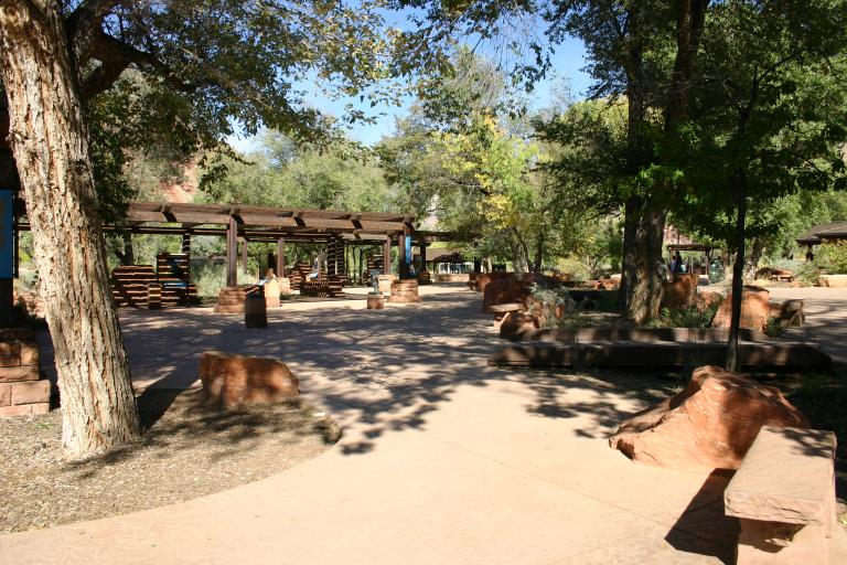
The first view of the park, the visitor's center, here's where we go to get our maps! | |
| We hiked 4 of the trails. 2 were long, but flat and 2 were short but fairly strenuous climbs. Some of the other trails and climbs were waaay beyond our abilities. | ||
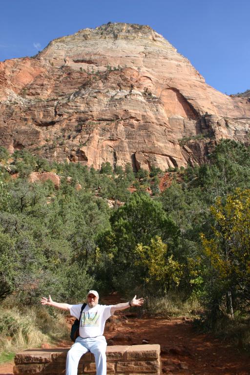
| Ron enjoying the view |
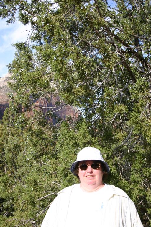 |
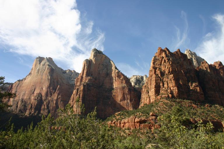
Court of the Patriarchs, this was a short steep climb up to a viewpoint to see the 3 Patriarchs rock formation. At the top of the trail we found juniper trees full of berries, like this one behind Linda. |
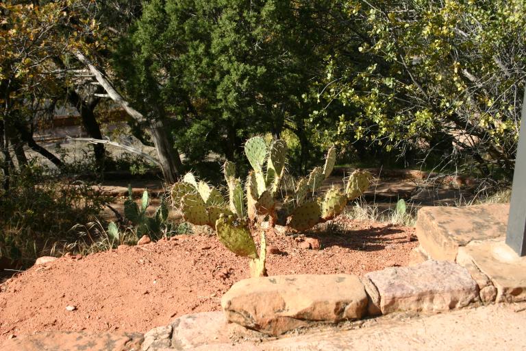
| Zion is on the edge of the desert, forest and desert plants and wildlife live together |
|
The 3 Patriarchs |
|
The view from the spot where we stopped for lunch. |
|
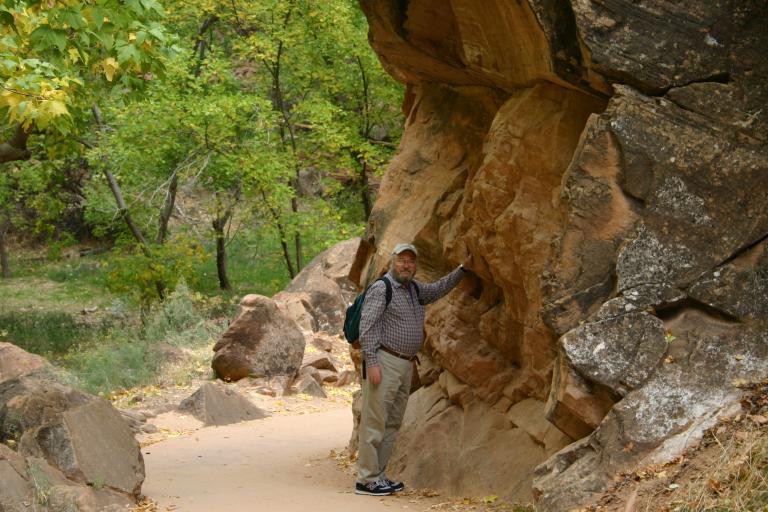
Riverside Trail. This one was about 2 miles around. We walked to the end, had a nice picnic lunch then walked back. Here's Ron looking at one of the rock formations that hang over the trail. |
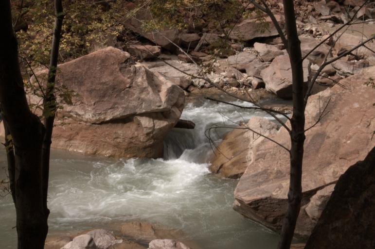
| The Virgin River, which carved out Zion Canyon. |
|
Ron and Linda at the riverbank at the end of the trail. |
| This is as far as you can go on the Riverside Trail without getting your feet wet, the canyon narrows here so that the river fills it. |
 |
|
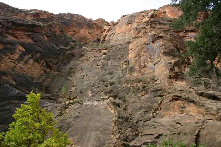
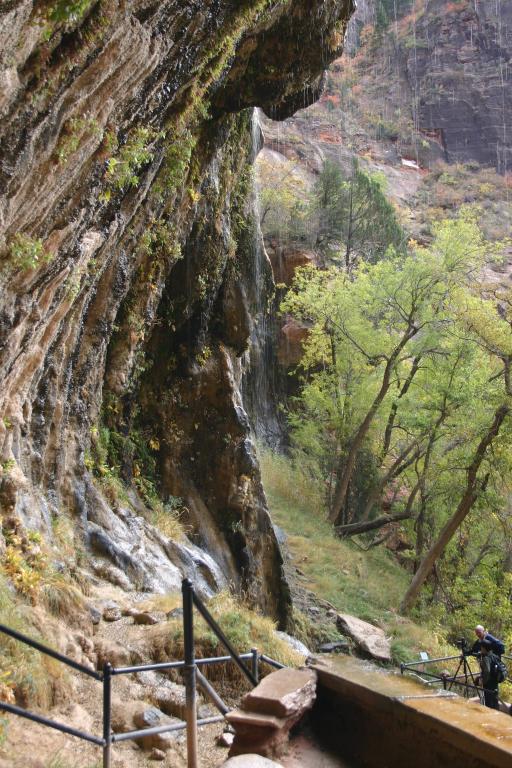
| Weeping Rock; a very steep trail up to an area where the water, stored in the rocks for millions of years, leaks out, looking like a rainstorm on a sunny day. |
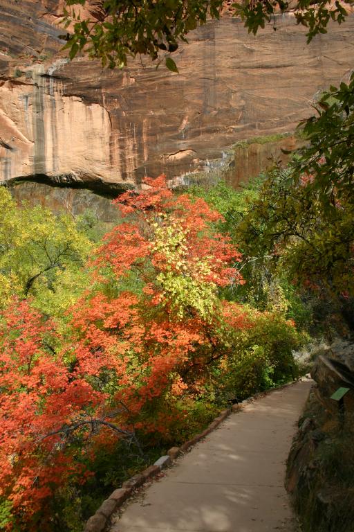 |
Fall colors on the Weeping Rock trail |
|
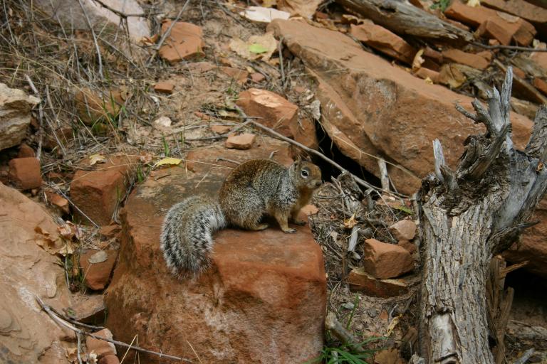
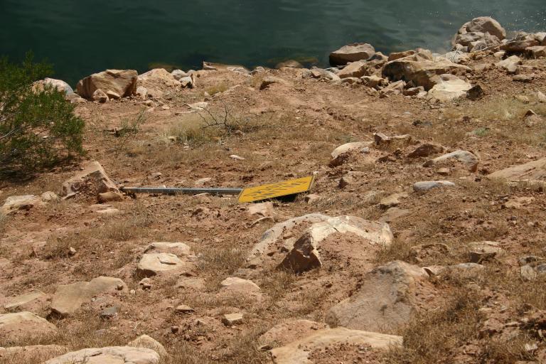
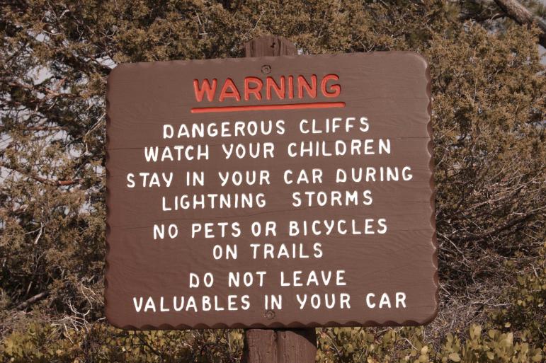
In all National Parks feeding of wildlife
is not permitted. Signs, warning of the harm this does the animals,
and stiff fines are posted throughout the park. |
|
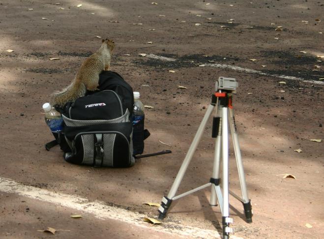
This squirrel is past the begging stage, he knows there must be something in this backpack to eat! |
|
Here is a panoramic view of some of the rock formations on the Pa'rus trail, you may have to scroll to see it all. |
|
|
|
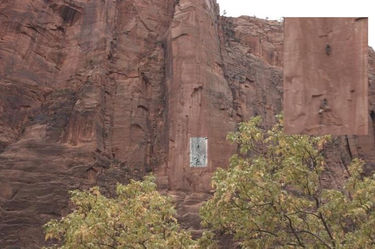
Trails, some only 30 inches wide and with drops of over 1,000 feet go along some of the cliffs and ridges. Here some climbers are scaling one of the walls, some of these climbs can take 2 to 3 days to complete. You can see the highlighted climbers in the inset. |
 |
|
 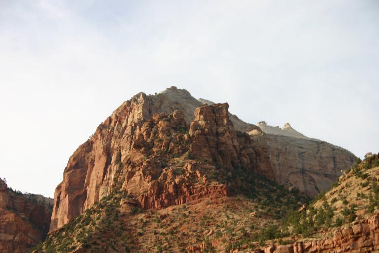 |
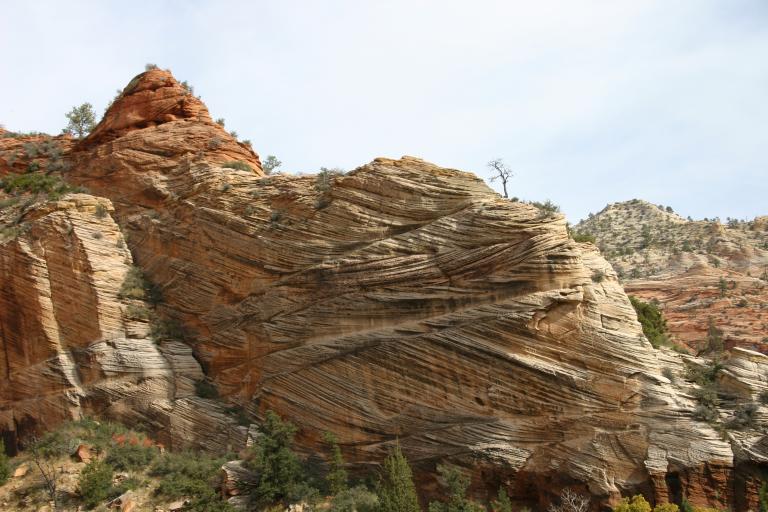
Some of the rock formation on the west side of the park, just before the tunnel to the east side. | |
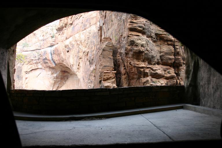
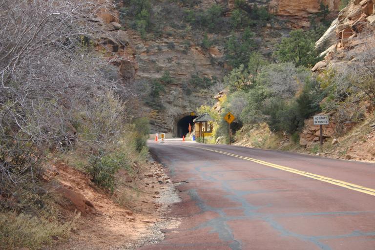
| To get from the western to the eastern part of Zion we went through the hills via a 1.1 mile tunnel. These cutouts along the tunnel wall provide the only light and air. |
|
Here is the eastern exit from the tunnel |
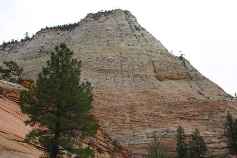
| One of the rock formations east of the tunnel |
|
Checkerboard Mesa at the east end of the park |
|
Bryce Canyon National Park is about 100 miles from Zion. We took the scenic drive through Zion to Bryce on Wed. November 2, 2005. |
||
|
|
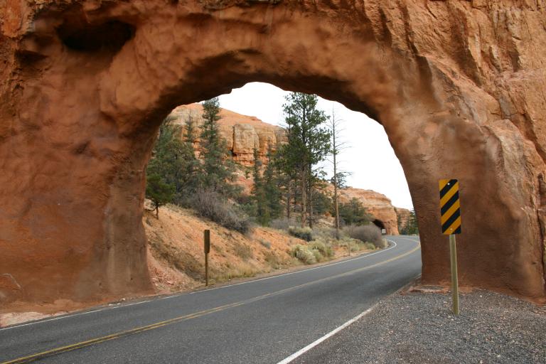
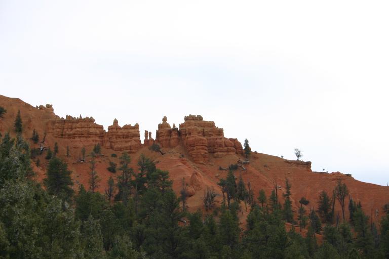
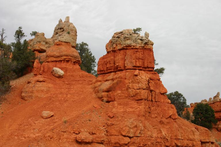
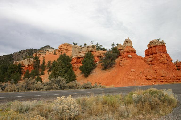
On the way to Bryce, we passed through "Red Canyon. (I can't imagine how it got its name! These 2 arches were cut over the road near the entrance to Red Canyon. |
|
| The formation in Red Canyon are "hoodos," pillars of eroded sandstone with caps. |
   |
|
 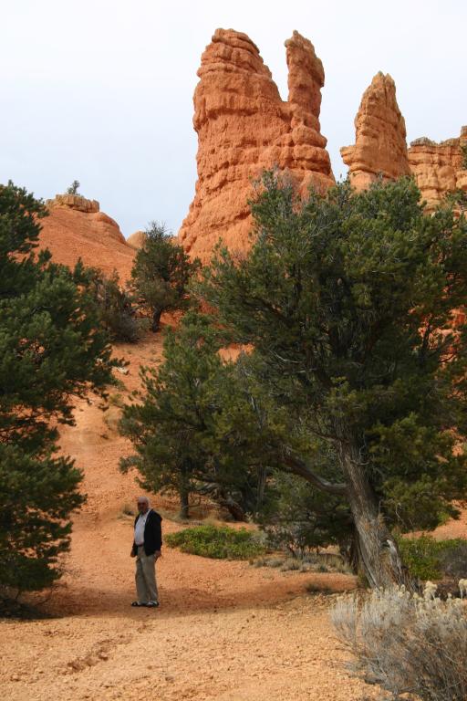 |
Ron goes for a closer look at the "hoodoos." | |
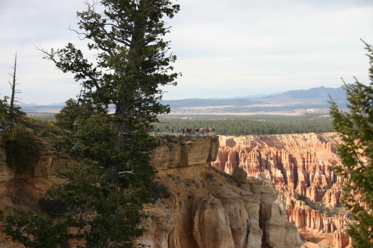
| We have to go and see what those people are looking at on the far point! |
  |
|
|
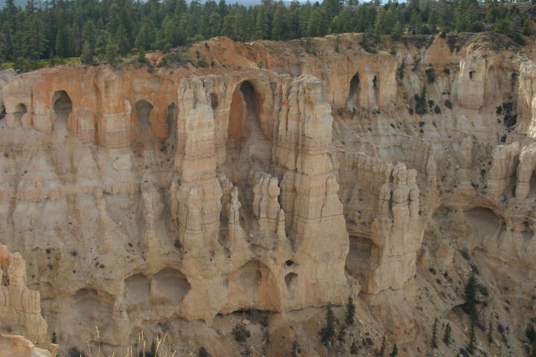
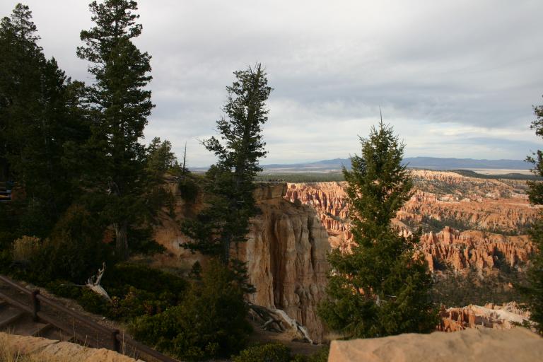
These formations are the main attraction at Bryce Canyon. This view is from Bryce Point, seen in the previous pictures. |

|
The greenery on top of the cliff and sides of the canyon are full grown pine trees, to give an idea of the scale of the hoodoos in the canyon. |
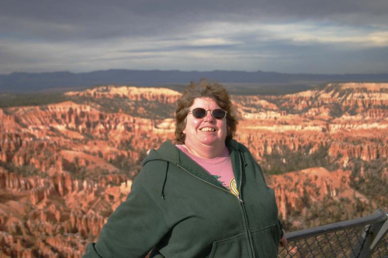 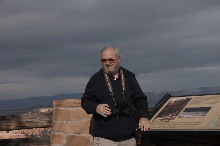 |
Ron and Linda - enjoying the views. The altitude of Bryce Canyon is over 7,000 feet. The air up there is thin and cold! |
|
|
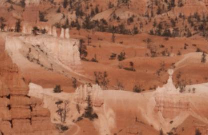   |
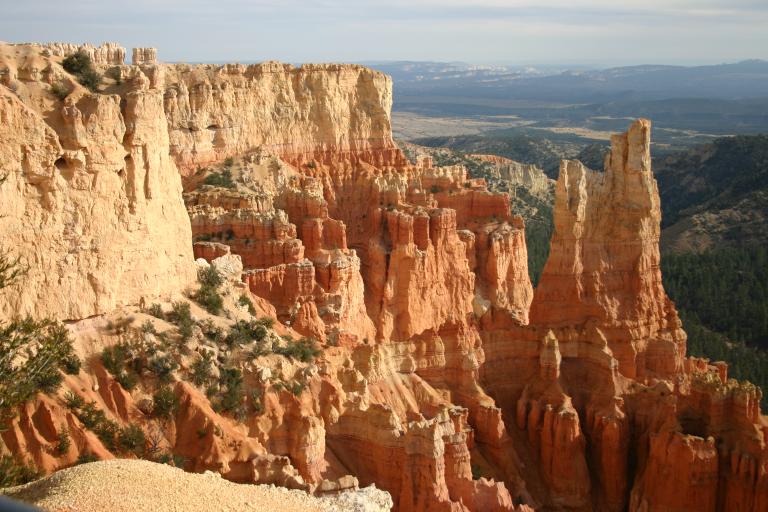
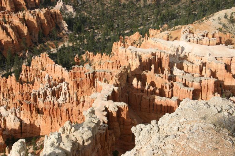
Some samples of the views in Bryce Canyon | |
| We saw a lot of these throughout the park! |
 |
|
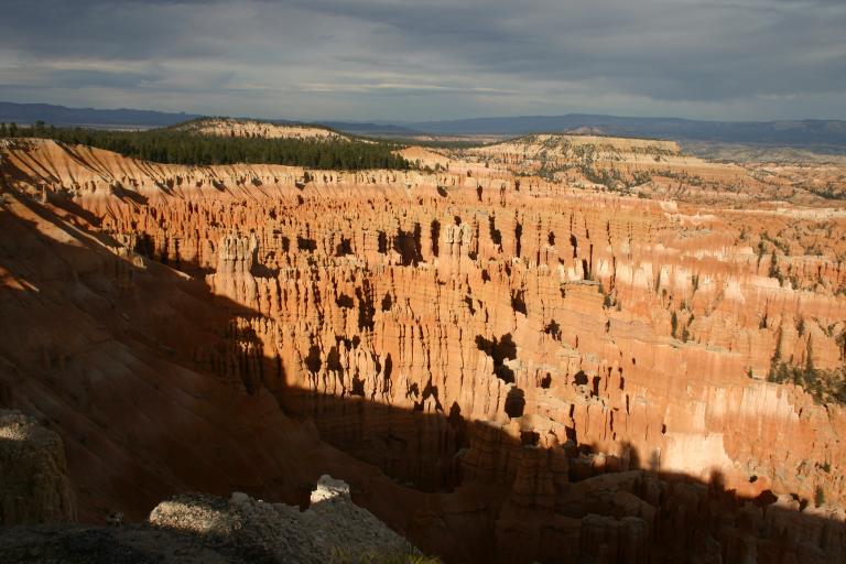
| A panoramic view of Bryce Canyon. |
|
|
|
|
||
 |
This 2,500 deep amphitheater is 10,000 feet above sea level. At this level, there's snow on the ground most of the time. This is the first snow we've seen on this trip! |
 |
|
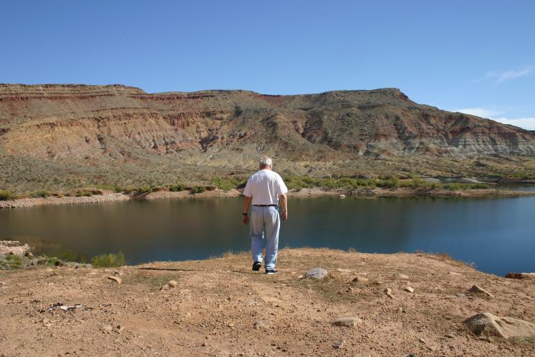
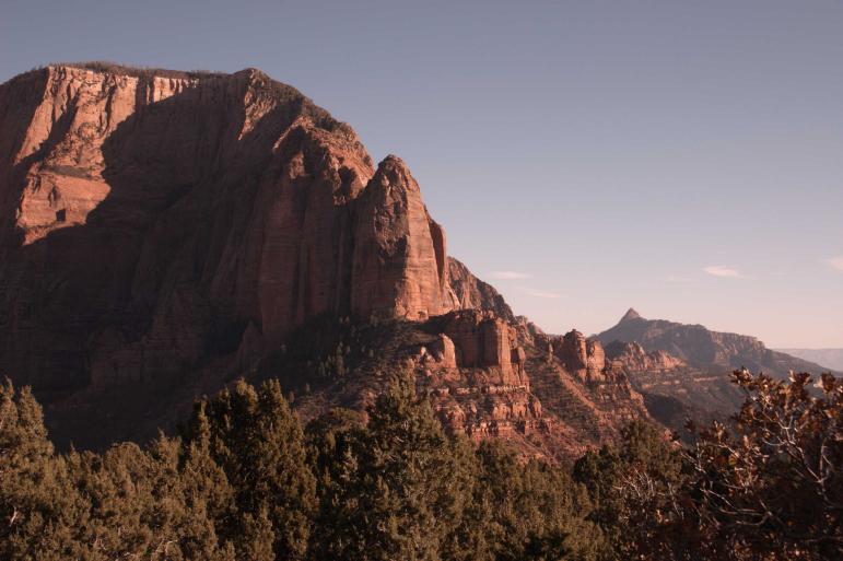
Kolob Canyons is the northern part of the park and is accessed from a separate entrance. We decided to visit it on Nov. 4, 2005. |
||
 |
The first thing we always have to do is get a map, we don't want to miss anything. | |
 |
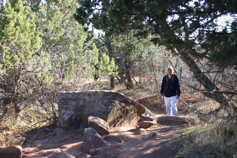
The view from the top of the trail. We met a local couple here who like to drive up to enjoy their afternoon coffee admiring the scenery. | |
 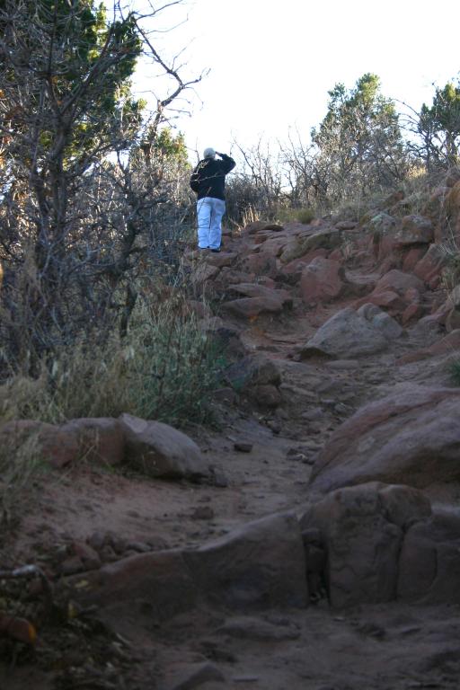 |
Ron, on the Timber Creek Overlook Trail | |